Earth Science – Fifth Grade
Topographic maps, though two-dimensional, use contour lines to show elevation above sea level. A topographic map, or “topo map,” is a way to show mountains and valleys on a flat piece of paper. Topo maps are used for many purposes, such as building roads and hiking trails in the mountains.
Go to this link to see topo maps of the United States. Click on the tab in the right corner to change the map view to the topo view.
“The Shuttle Radar Topography Mission (SRTM) flew aboard the Space Shuttle Endeavour in February 2000. It passed over almost every point on Earth. It made radar images that scientists will use to make the best topo map ever made of Earth.” NASA
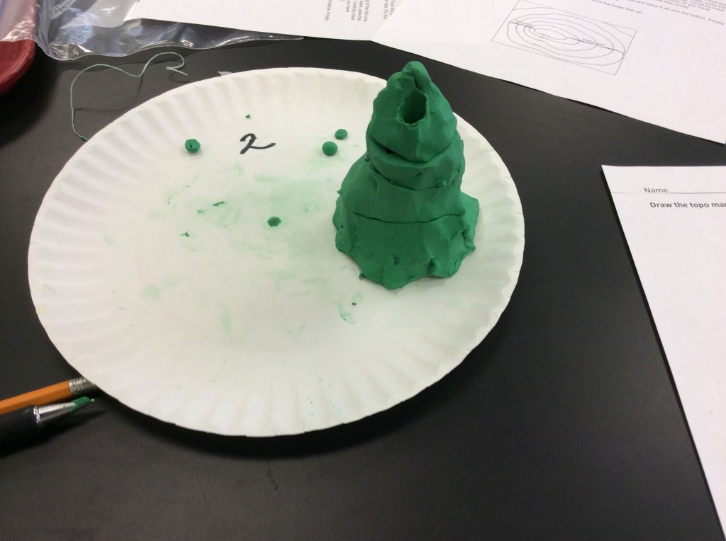
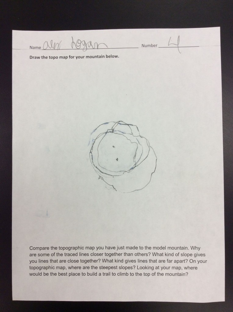
Fifth grade made clay mountains and then used them to construct a topographical map.